Facts about the Monkman Pass Highway Project, Fourth Part
SOME FEATURES OF THE MONKMAN PASS ROUTE
1. It is the most direct. Peace River's desired outlet is to the sea and southern British Columbia. By this route ONLY natural valleys lead directly west and south from the Peace River area to the nearest point on both railway and highway.
2. No section of the Peace River territory can be served by any more direct route to Prince George or Vancouver. The agricultural section of the Peace River is oblong in shape. This route leaves the southwest corner and proceeds directly west and south.
3. Since 150 miles of new highway would connect the highways of British Columbia with the highways of Peace River, this route (The Monkman Pass route) provides the most easily completed trans-Canada highway.
4. With the shortening of the Edmonton-Peace River Highway, by opening of the Whitecourt cut-off and the connection of the Monkman Pass Highway, the route between Edmonton and Vancouver would be less than 1,000 miles.
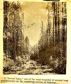
5. This route offers no difficult feature in the matter of construction. The grades are few and not steep, and only one fair-sized river has to be bridged. The Monkman Pass is open and wide, and only 3,555 feet at the summit.
6. By the completion of this route, the distance from Fellers Heights to Vancouver would be 680 miles; from Rio Grande to Vancouver, 675 miles; at present it is 1,600 miles.
Back to the beginning of this story!
List of People in the MPHA
Monkman Pass Facts (1)
The Monkman Pass Highway Association (2)
"It is Urged" (3)
"Of National Appeal" (5)
Margaret Campbell's Adventure on the Monkman Pass
Go to Kilvicocharmaig Home Page